Nearing The Top Of The Temperature Roller Coaster
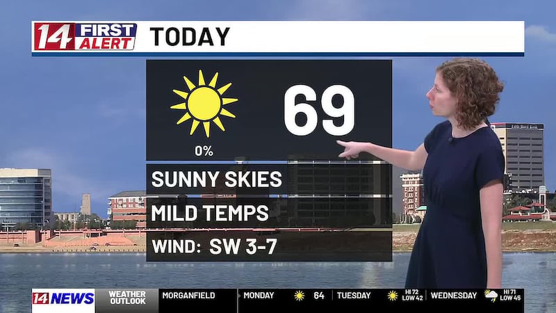
EVANSVILLE, Ind. (WFIE) - We’re roughly at the top of the temperature roller coaster and are patiently waiting for the big drop behind Wednesday’s cold front.
WEDNESDAY FRONTAL PASSAGE
Showers and some storms will move across the Tri-state Wednesday afternoon and evening after temperatures top out around 70 degrees. Folks along and east of I-69 have the best chance for rain in general, but they also have the better chance for strong-to-severe storms. The severe threat is very conditional. That means if any severe weather parameters weaken even the smallest amount, the severe weather threats decrease to basically zero. If a storm goes severe, a damaging wind gust or two is the most likely scenario; however, a rotating storm could lead to a very weak and brief tornado. That is why Wednesday is a FIRST ALERT day. Again, the chance for even one storm to go severe is exceptionally low.
COLD AIR INTRUSION
Thursday morning will start in the middle 40s, but high temperatures will only climb to the middle 50s under mostly cloudy skies with a low chance for light showers. Temperatures tank Thursday night with widespread middle 30s. Friday probably won’t even climb out of the 40s. Both Saturday and Sunday will start off below freezing with widespread 20s and a Hard Freeze possible. Highs will stay around or below 50 degrees on Saturday while Sunday afternoon bumps up temperatures a couple degrees.
CLOSER TO AVERAGE NEXT WEEK
Monday and Tuesday will bring up our morning lows to the freezing mark or just a bit above it in most spots. Afternoon temperatures will only make it to the middle 50s, but that’s about where we should be this time of year.
ALERT DAY: WEDNESDAY

Copyright 2026 WFIE. All rights reserved.